See Every Detail with
Leaf-Off, High-Resolution, Orthogonal Aerial Imagery
Go iLawn InstantEstimator uses high-resolution aerial photography to cover over 90% of the United States and Canada. Aerial photos are clearer than a standard satellite photo because they are taken much closer to the earth with a high-resolution camera lens from a low-flying airplane.
Leaf-Off Imagery
Most of our aerial images are taken after the leaves have fallen off of the trees so tree canopies won’t obstruct your view of the surface you need to measure.
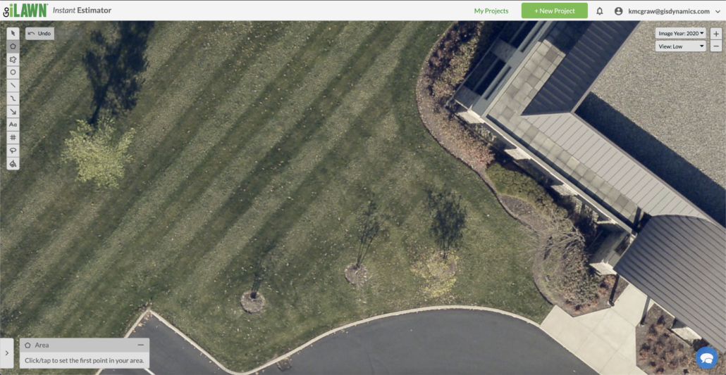
With imagery clear enough to see individual leaves on the ground, you can be sure that you’ll capture every property detail with Go iLawn InstantEstimator.
Orthogonal Views
Up to 11 property views are available to give you the clearest view of the project while you measure. This is valuable when you are measuring a property with an especially tall building, as the height of the building can obscure the top-down view available on other measuring systems.
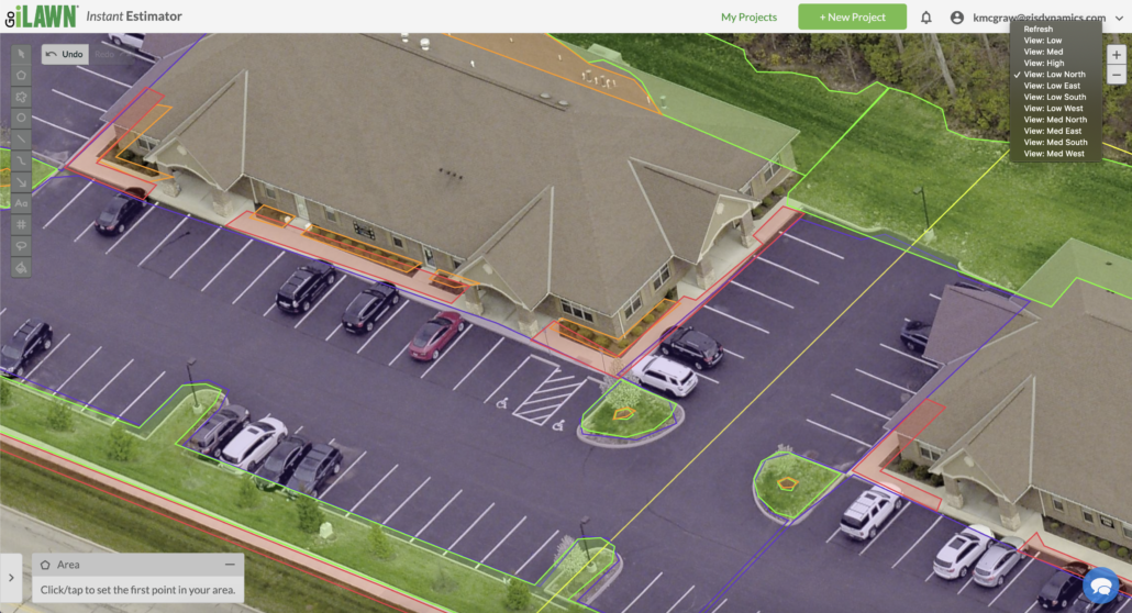
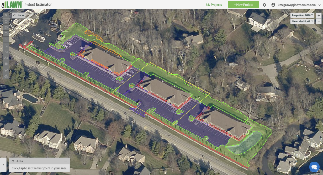

Image Years
Go iLawn InstantEstimator gives you access to all image years available. You can switch between years to see how the property has changed over time. Occasionally, the most recent image may have leaf covering – just switch back to a previous year to find a leaf-off image and continue measuring.
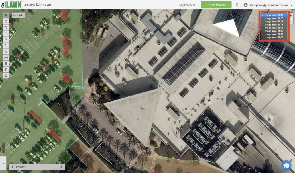
Image Age
Imagery updates occur based on contractor deals with the county governments. Typically, densely populated cities are updated yearly, while more rural areas are updated every few years.